Contents
4. Configure a Role
![]() Updated
by Mapidea Team
Updated
by Mapidea Team
After log in and access the Administration Area, to configure a Role, select Role Settings from the list. After that, choose the Role you wish to configure from the drop-down menu.

In the role settings, it's possible to configure:
4.1 Map
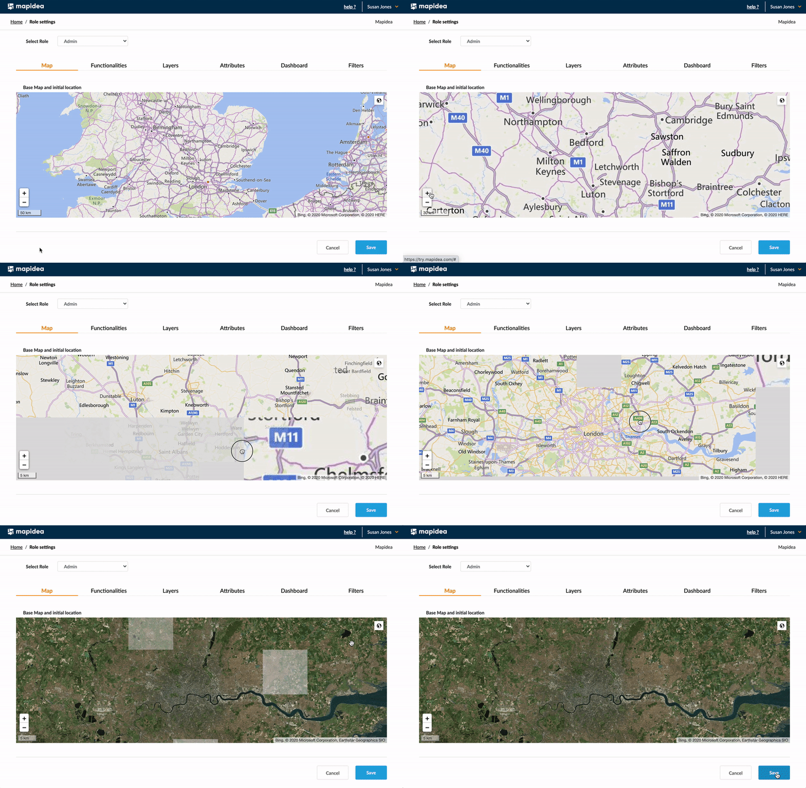
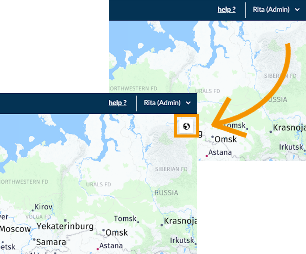
Define the area and base map that appears when a user logs in. Move the map window to the desired location, adjust zoom level and choose the base map, through the world icon in the upper right corner inside the map area.
4.2 Functionalities
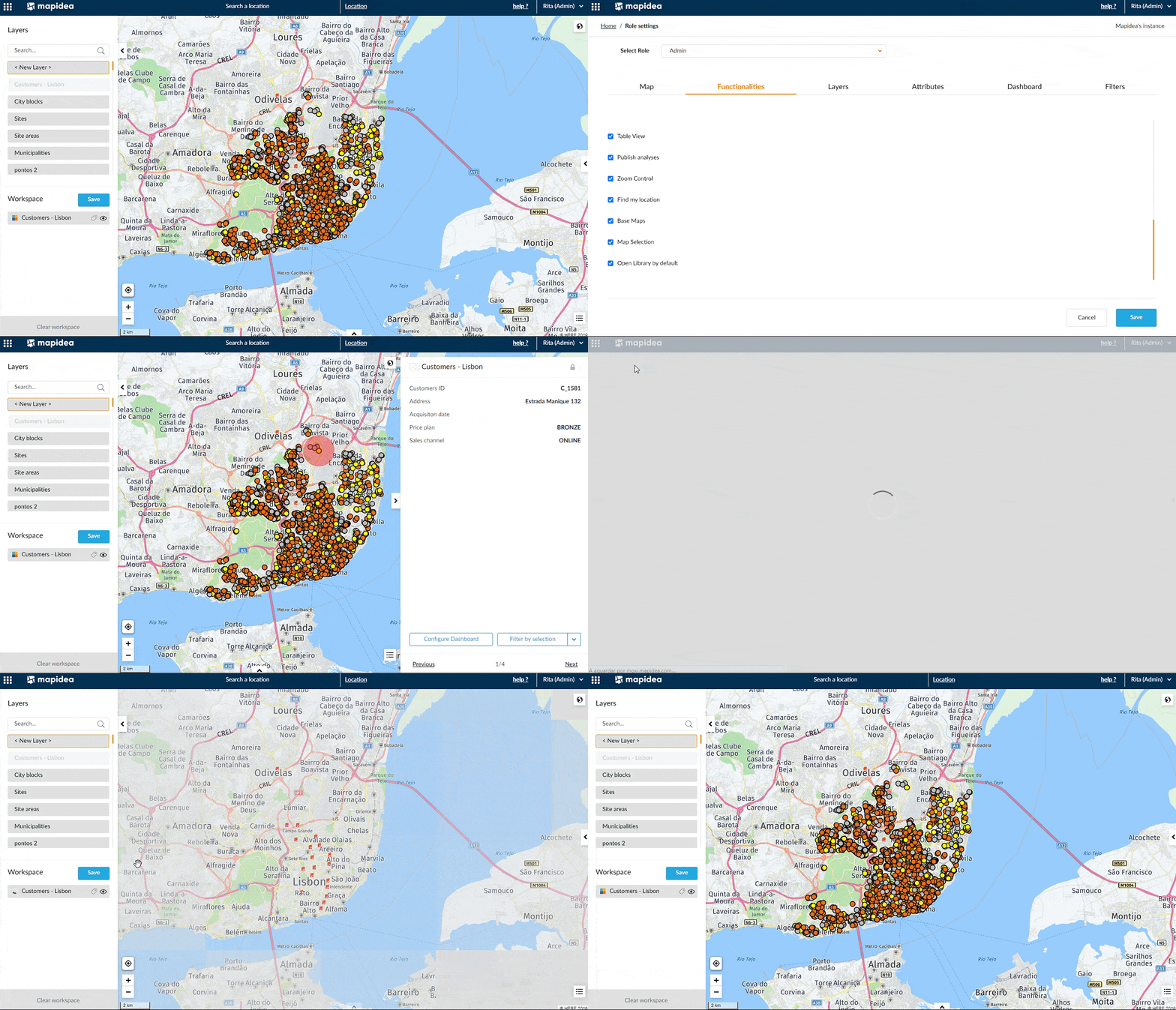
Define which functionalities will be available for the end user. Check the boxes to activate/deactivate each functionality.
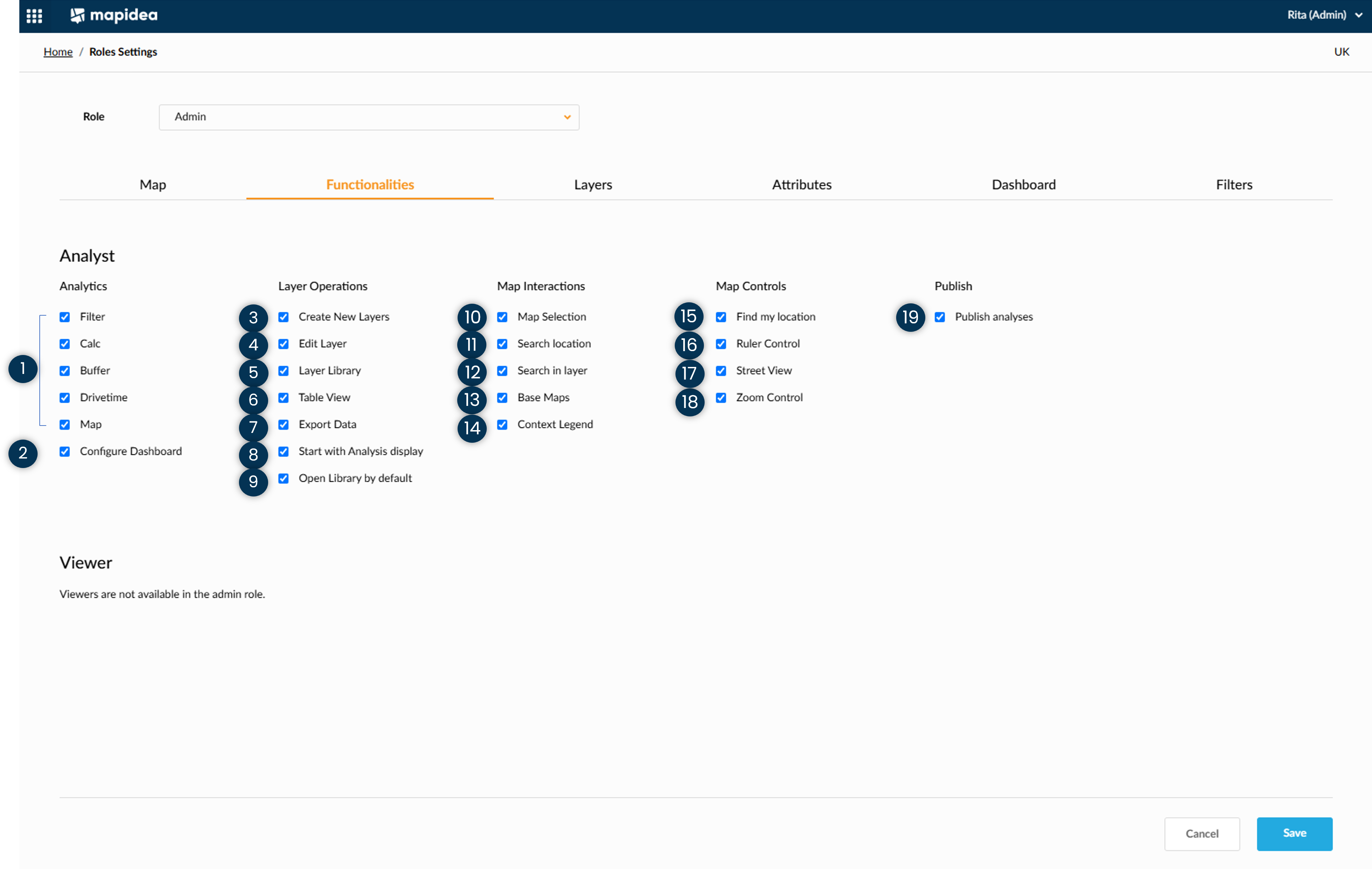
- Dashboard, Filter, Calc, Proximity and Map
Define which analytical functions will be available on the operational console, for the users on the role.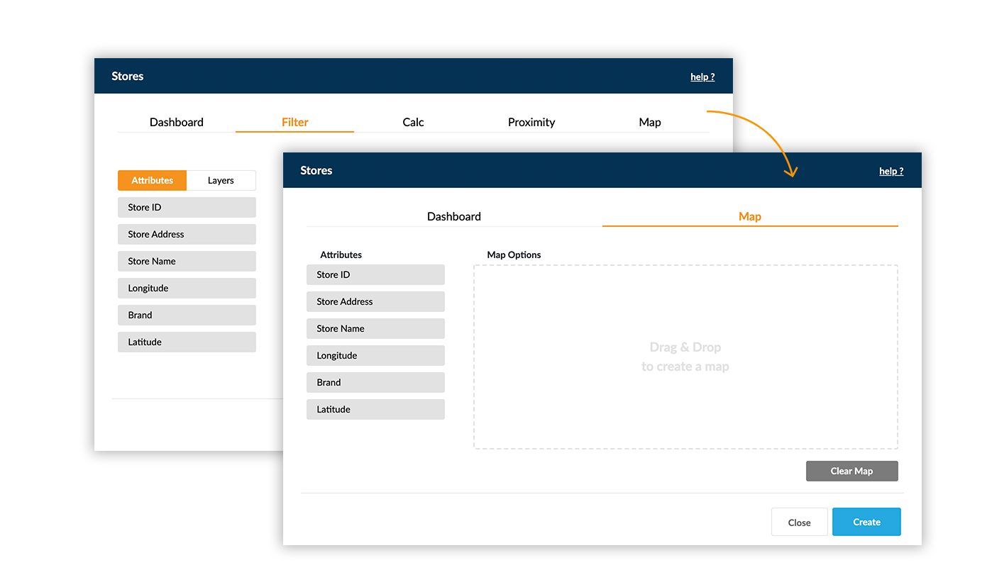
- Configure Dashboard
Allows users to configure dashboard in the application.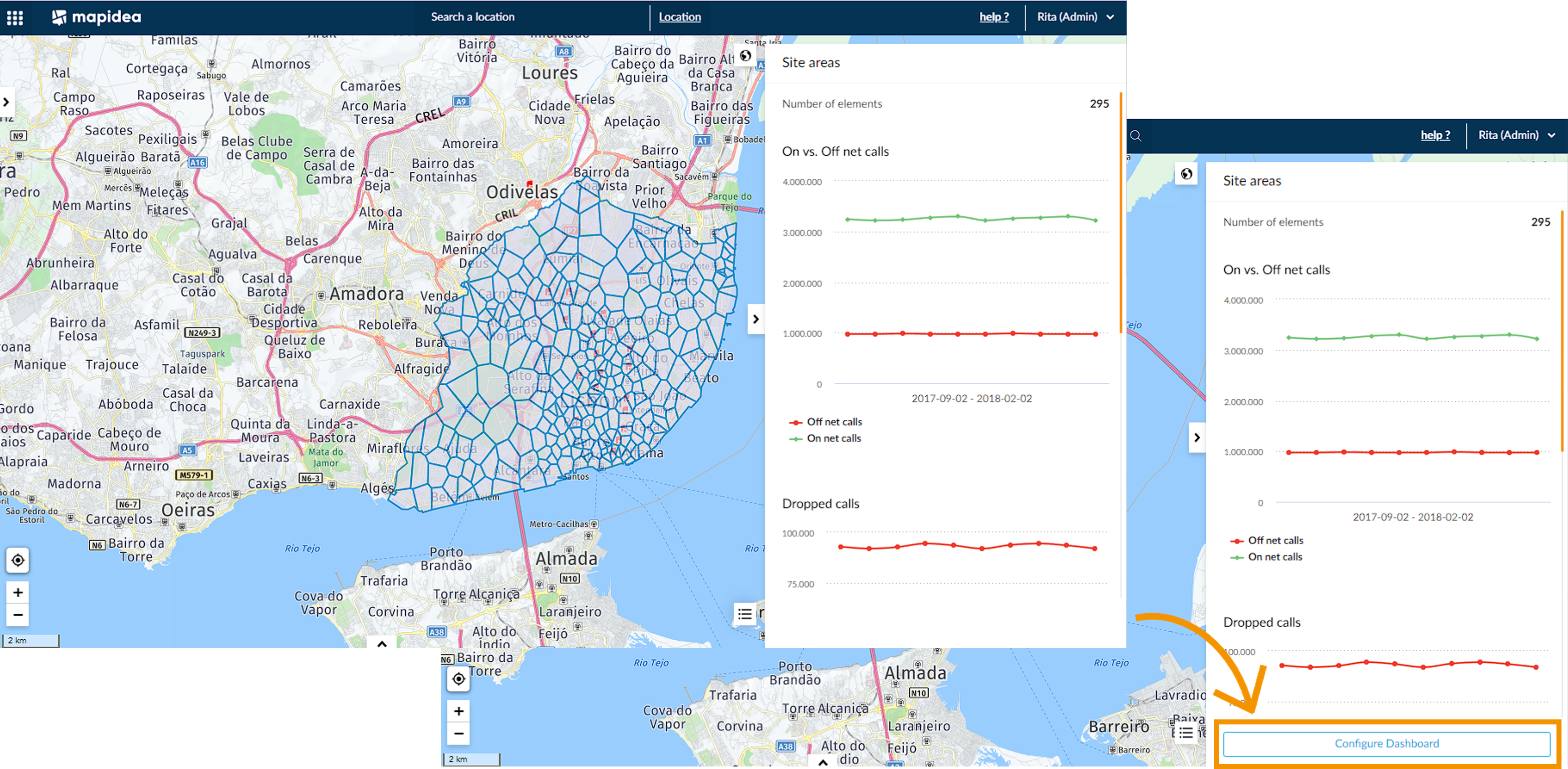
- Create New layers
Allow users to create new layers.

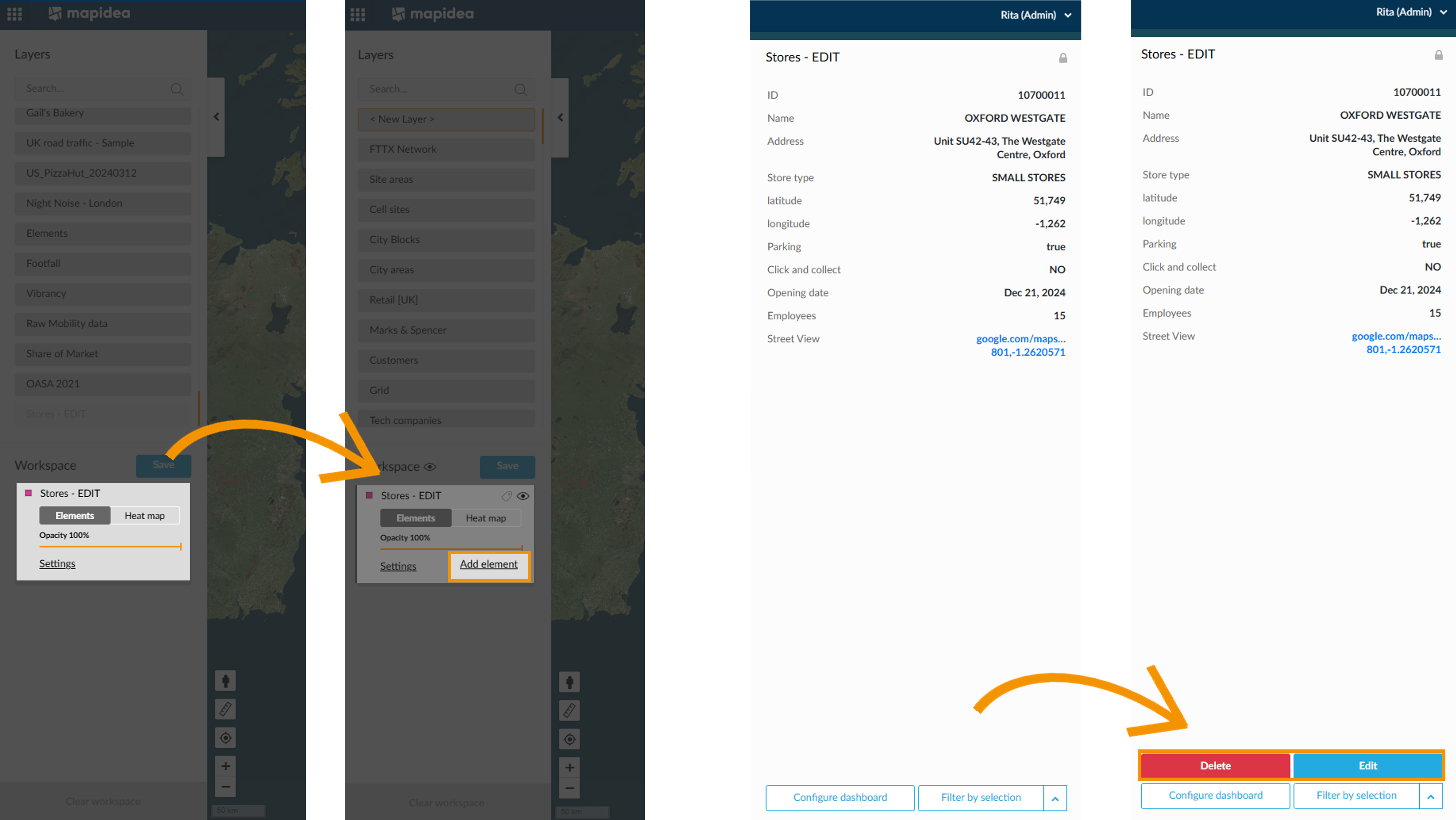
- Edit Layer
Enables or remove the possibility to edit layers.
- Layer Library
Allows access to the layer library, move layers and save analysis.

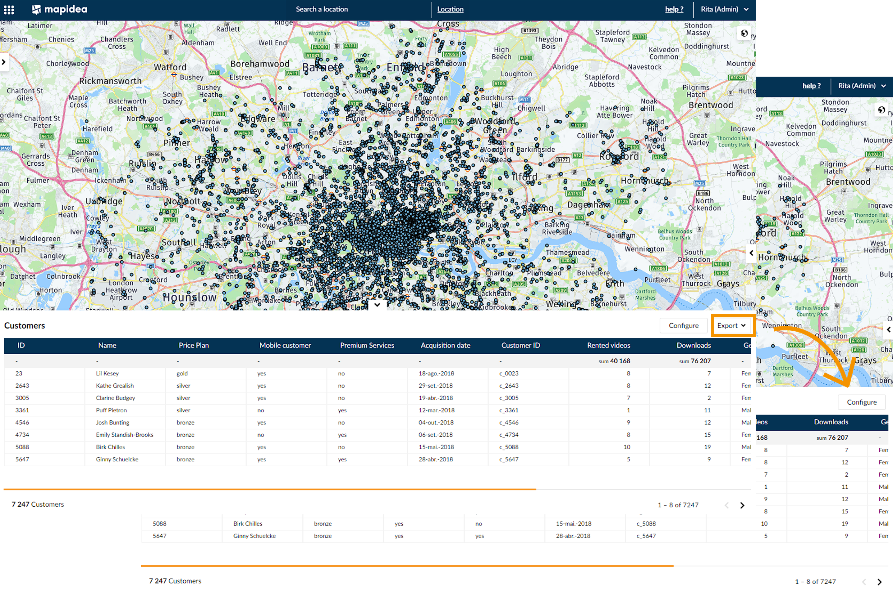
- Table view
Enables or remove the possibility to see data from layers in a tabular format.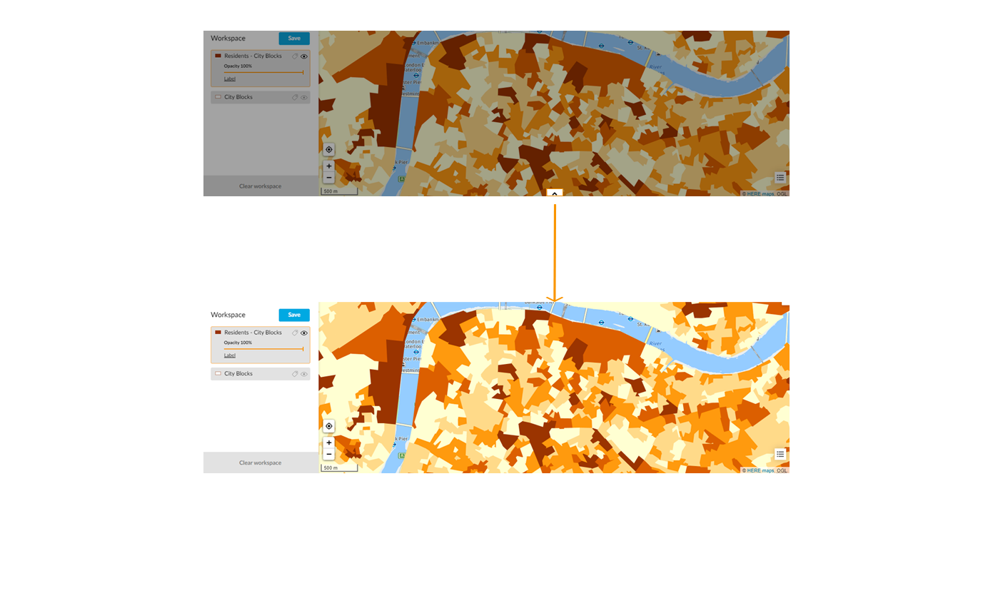
- Export Data
Allow users in this role to export data form the available layers.
- Start with Analysis display
When loggin-in in the application start by default in the Analysis tab.

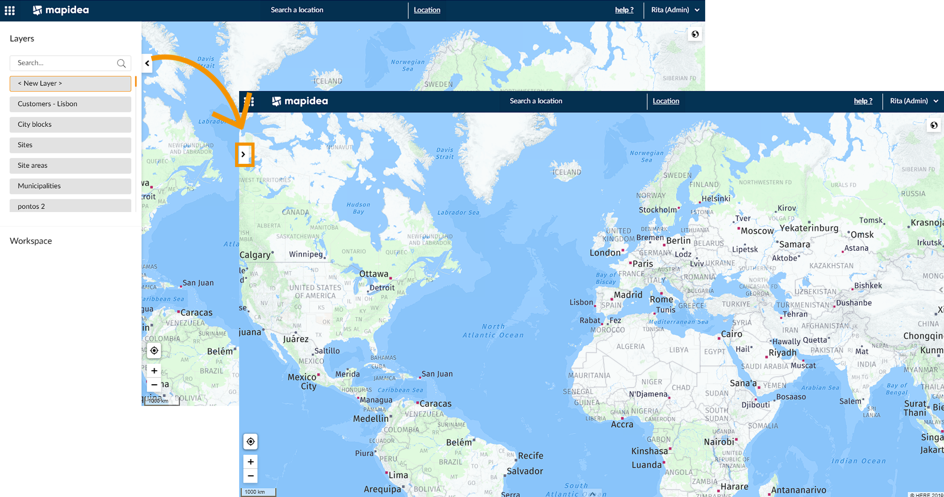
- Open Library by default
Allows the user to start Mapidea with the library of layers open by default.
- Map Selection
Enables or remove the possibility for a user to select elements on the map.
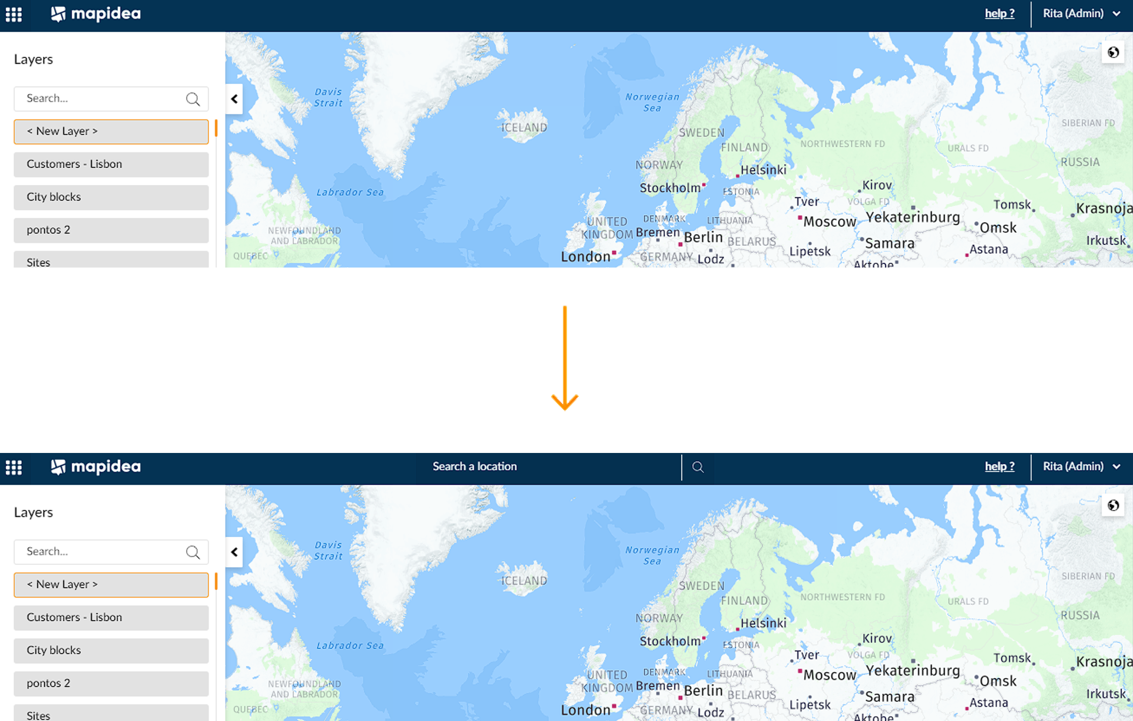
- Search Location
Allow users to search addresses.
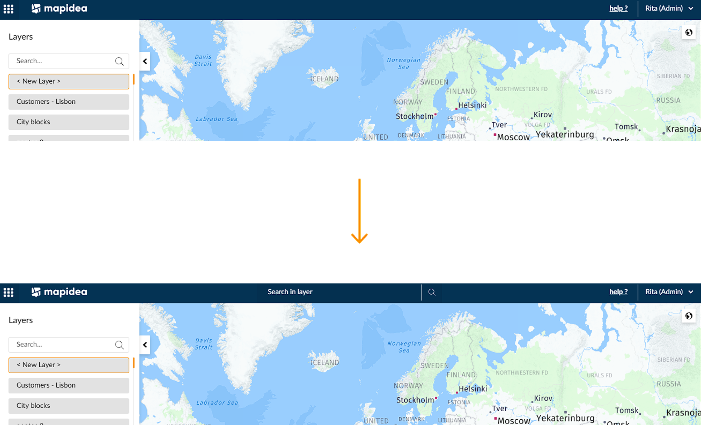
- Search in layer
Allow users to search within layers.
- Base Maps
Allows users to pick the base map
- Context Legend
Allows users to visualize the context legend

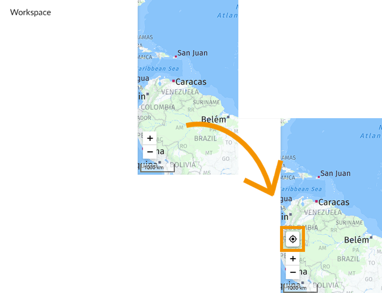
- Find my location
Enables or remove the possibility to publish analyses.
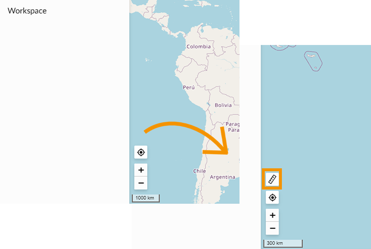
- Ruler Control
Enables or remove the possibility to use ruler control
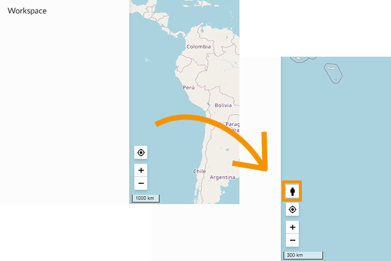
- Street view
Enables or remove the possibility to use Street view button.
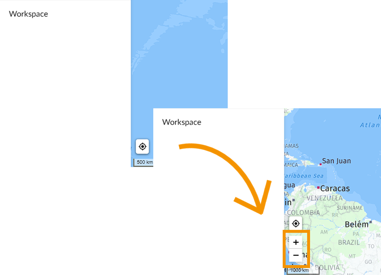
- Zoom Control
Enables or remove the possibility to control zoom with zoom buttons.
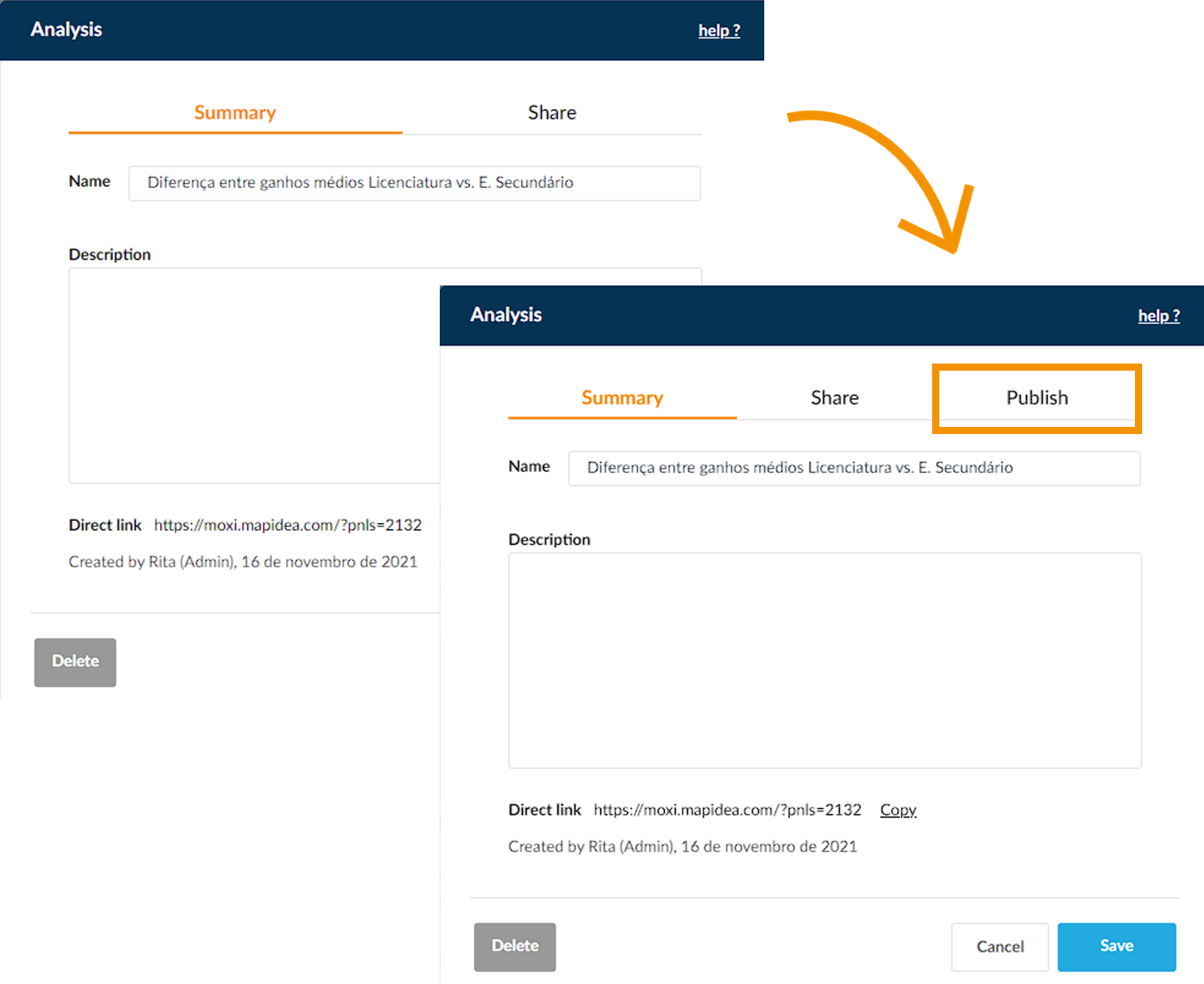
- Publish analyses
Enables or remove the possibility to publish analyses.
4.2.1 Viewer' Funcionalities
In other non-admin roles, you can configure the functionalities that each Viewer user in that role can see/do. Their options are limited to non-analytical functionalities:
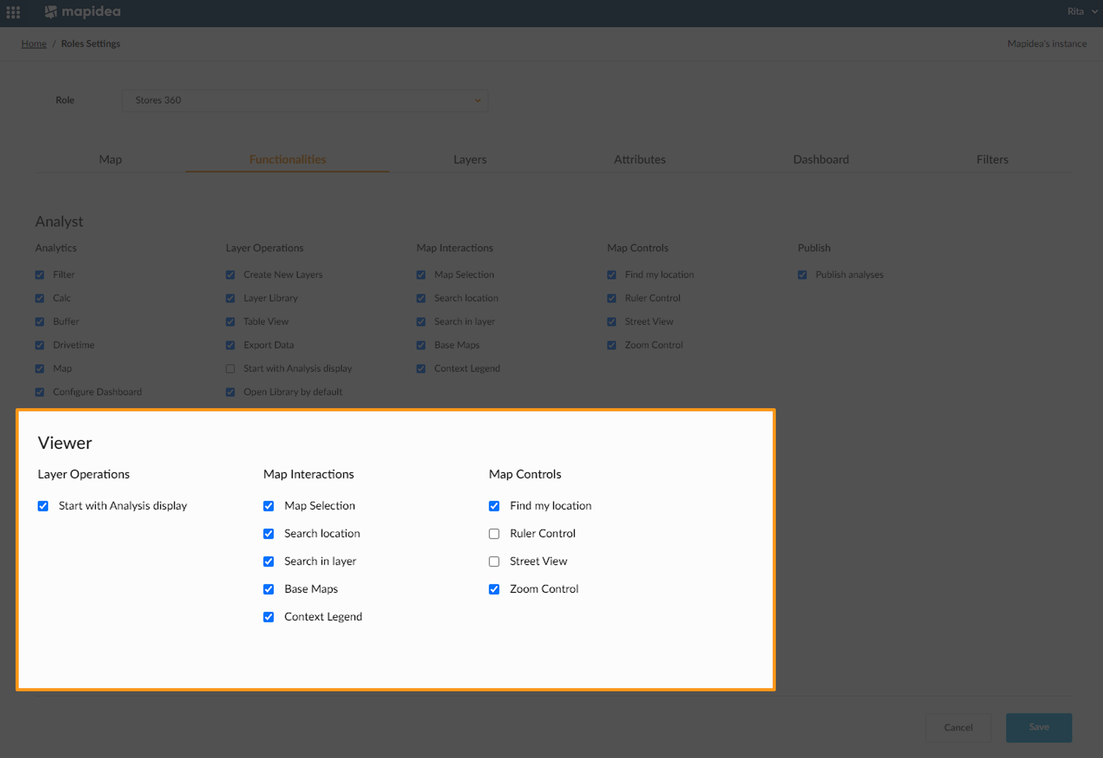
By default, Viewers' funcionalities will appear with most of them enabled.
4.3 Layers
Define which Layers will be available for the users assigned to this role. If you drag & drop a layer to the Enabled Layers list, they will appear in the library area for the users to interact with; After a Layer is in the Enabled Layers list, it can be moved to the Pre-Loaded Layers list; the Layers on this list will appear loaded when users log in.

4.4 Attributes
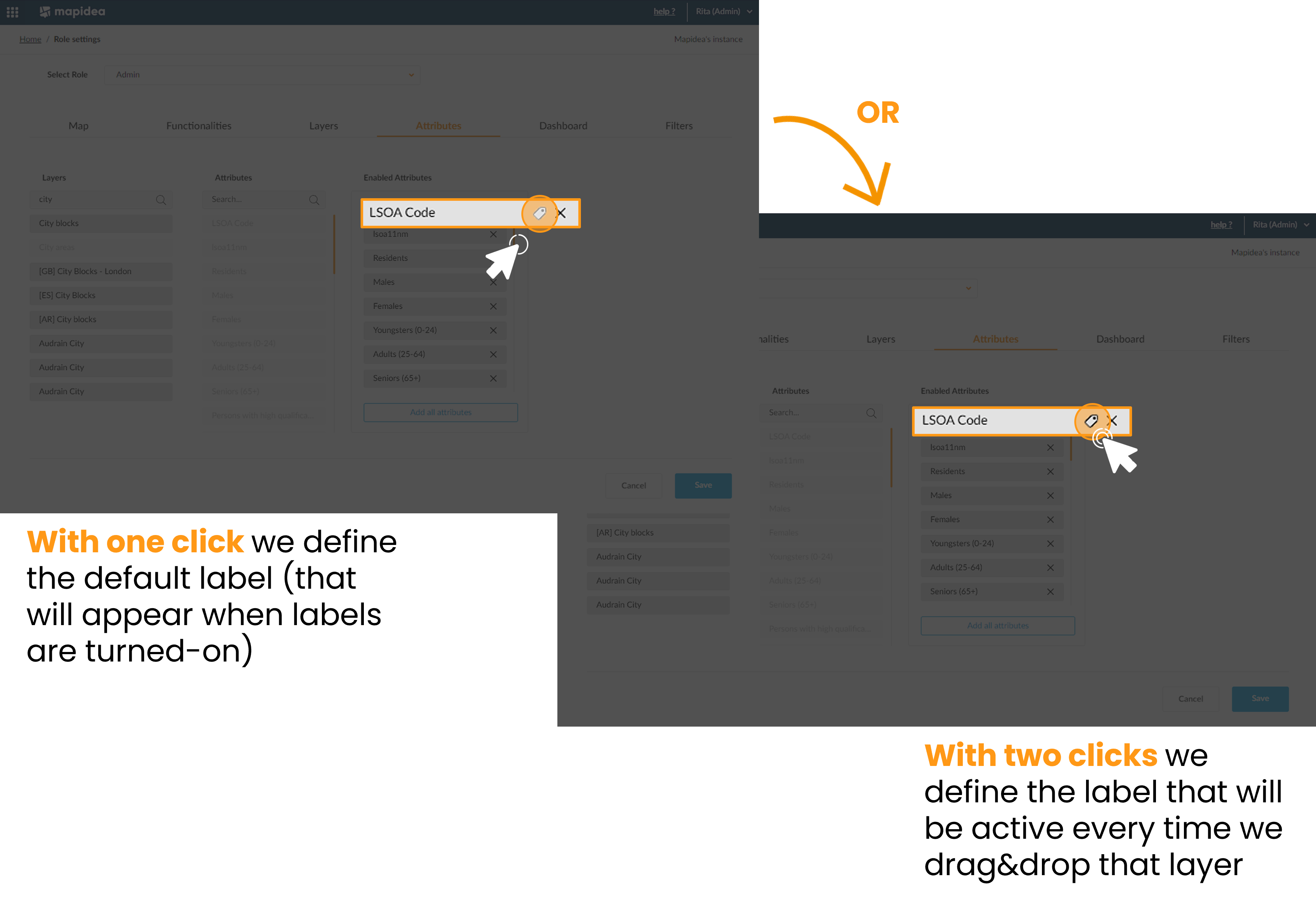
For each Layer defined as enabled, choose which attributes will be included in the Layer for the user to interact with.

Here you can choose the attribute you want to appear by default as the layer label or indicate whether you want it to always be activated when you drag the layer onto the map (🏷️).
4.5 Dashboard
Configure the default Dashboard, defining a list of visible attributes and charts, for each layer available on the role.

4.6 Filters
Filters on the role settings enable administrators to define which elements from a layer are available for the users on the role. For detailed steps about filters, please check here.

